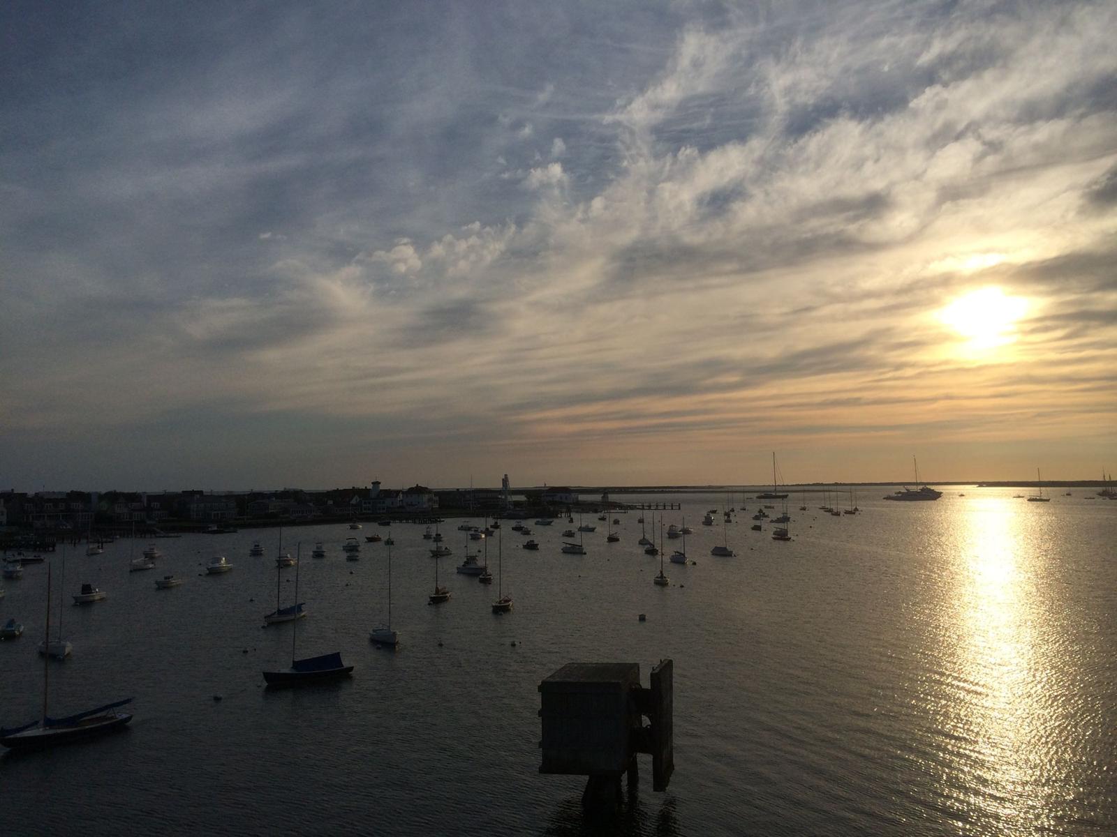
Nantucket has one town government, one zip code for most of the island and one MLS, and none of that stops it from being thirty-odd distinct places. Every listing in LINK carries a district name, and learning what those names mean is the fastest way for a buyer to turn a list of houses into a map of choices.
Start in Town
Town is the historic core around the harbor: cobblestones, captains' houses, the wharves and almost everything you can walk to. Brant Point curls around the harbor's mouth to the lighthouse, five flat minutes from Main Street, with the harbor beaches on one side. Cliff rises to the west above Steps Beach, where the island's grand summer houses look north across the Sound. Together these three are the island's most walkable and most expensive addresses, and the first stop for buyers who want the village life.
The harbor side
East of Town the land follows the harbor out toward Wauwinet. Monomoy and Shimmo sit on the first rise with harbor views minutes from Main Street. Shawkemo, Quaise and Polpis run along the harbor's inner shore, where the lots get larger, the roads get quieter and private docks appear. Pocomo is the point at the harbor's head, and Wauwinet is the narrow neck between harbor and ocean where the road ends. Buyers who want water without the surf, and privacy without the drive to the east end, look here.
The south shore
Nantucket's south shore is the ocean side: wide beaches, long views, and the surf. Surfside is the classic family beach district within biking distance of Town. Miacomet has the pond, the golf course and streets people live on year-round. Cisco is the surf break and the farm stands, and Hummock Pond runs inland behind it. Madequecham and Tom Nevers lie further east along the shore with the island's least crowded beaches and larger lots on rolling moors. Madaket, at the far west end, is where the island watches the sun go down.
The middle and the north shore
Between the shores is the island's interior. Mid Island is where the year-round community lives, with the schools and services, and the villages of Naushop, Nashaquisset, Beach Plum and Sandpiper offer established neighborhoods with shared amenities. Middle Moors is the protected heart, conservation land around Altar Rock. On the north shore, Dionis and Eel Point offer calm Sound water, dune-sheltered houses and sunsets, with Fishers Landing between them and Madaket.
The east end
Sconset is the island's other village, eight miles from Town with its own market, its rose-covered cottages and the bluff. Quidnet, to its north, sits on Sesachacha Pond with old-Nantucket quiet, and Squam beyond it is sand roads and the island's deepest privacy. Buyers choose the east end for a slower pace and a stronger sense of being somewhere else.
How to use this
When you tell us what you want, we hear a district before we hear a house. Walkable and social points to Town and Brant Point. Harbor and a dock points to Polpis or Monomoy. Beach and surf points south. Privacy and sand roads point to Squam or Eel Point. The house comes after, and the district is why it fits.
Each of these places now has its own page on this site, with what makes it distinct and the listings on the market there today. Start with the neighborhoods and work inward.